
Record levels above and below
Photograph both approaches and note whether the wall carries a yard, driveway, fence or another terrace. Surveyed levels may be needed where the geometry or nearby loads are significant.
Belmont · 3216
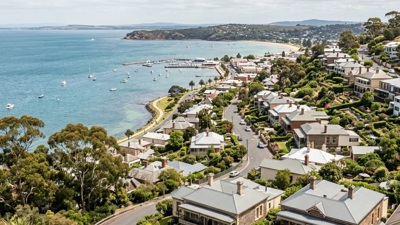
Belmont runs from Barwon River flats to rising residential ground, so wall height, groundwater and the load from upper driveways or yards vary considerably between blocks.
Start with the wall system
Belmont spans Barwon River flats and rising residential ground, so the apparent wall height is only part of the load picture. Upper yards, driveways and changing levels should be visible before material and footing decisions begin.
A Belmont enquiry should show the retained slope in profile, including the ground above the wall and the space below it. Mark driveways, fences or terraces close to the edge, then record damp areas and the direction surface water travels instead of assuming that one drainage condition applies across the suburb.
Topic substance first
Photograph both approaches and note whether the wall carries a yard, driveway, fence or another terrace. Surveyed levels may be needed where the geometry or nearby loads are significant.
Observe where surface water arrives, whether the wall base stays wet and where a subsoil drain could lawfully discharge. Do not infer the groundwater condition from the suburb alone.
A post-and-sleeper wall, reinforced masonry wall and rock wall occupy different working and finished widths. The available space can narrow the field before colours or textures are compared.
Why Belmont owners use our help
Nearby loads are named rather than assumed away.
Water paths are separated from broad terrain labels.
Wall footprint is compared with the space that remains.
About Belmont
Properties around Belmont Common, Barwon River and High Street shopping precinct vary in level, ground, access and drainage, so those site conditions should guide the wall approach in Belmont.
Belmont Common and the Barwon River identify the flatter northern edge of the suburb, while residential ground rises towards Roslyn Road. High Street and Settlement Road also carry different traffic and access conditions. On a particular lot, this mix can translate into a wall below an upper yard, a driveway close to the retained edge or a constrained route down the side of a house. Levels and access photos of your own block keep the proposal tied to the actual Belmont property rather than the suburb in general.
Compare the scope
Prepare the handover
Provide measurements from both ends of the wall and a photograph looking across the full level change. Include the likely equipment route and any upper-yard load in the notes; that evidence helps compare system footprint and drainage needs before a price or footing arrangement is discussed.
Get help with your Belmont project
Bring the wall, water and access details together
Your details help us understand what you need and respond clearly.